- 0744-2363061
- cadpure18@gmail.com
- Shop No-3, New Grain Mandi, Aerodrame Circle, Kota-Rajasthan - 324001
Land Mapping Services
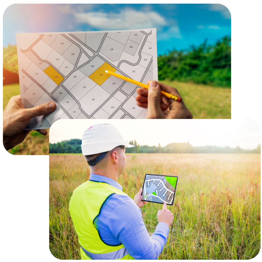
Explore our Land Mapping Services for accurate and detailed geographical data. Using advanced technology, we provide comprehensive mapping solutions to assist in planning, development, and analysis. Our team ensures precise land surveys and data integration for a variety of applications. Whether for property development, infrastructure projects, or land use planning, we deliver high-quality results tailored to your needs. Contact us to enhance your projects with reliable land mapping expertise.

Our Specialized Survey & Design Solutions
Village Khasra Map with Only Tarmim
Precision mapping and contouring with advanced technology for accurate land and infrastructure assessments.
Village Khasra Map with Marking of Diff. Type Of Land with tarmim In Colour
Precision mapping and contouring with advanced technology for accurate land.
Land Mapping Services
Our Land Mapping Services offer precise and detailed geographical data, crucial for effective planning and decision-making. Utilizing advanced surveying technology, including Total Station, DGPS, and drones, we provide comprehensive mapping solutions tailored to your specific needs. Our expert team ensures accuracy in every project, from property development to infrastructure planning. We offer detailed topographic maps, contour surveys, and GIS integration to support various applications, ensuring your project is grounded in reliable data.
With a focus on accuracy and efficiency, our services are designed to deliver high-quality results. Contact us to discuss your project requirements and discover how our land mapping expertise can support your objectives.
Frequently Asked Questions
Common Questions, Clear Answers
What is land mapping?
What technologies do you use for land mapping?
How accurate are your land maps?
What types of projects can benefit from your land mapping services?
How long does it take to complete a land mapping project?
How can I get a quote for land mapping services?
Lorem ipsum dolor sit
Lorem ipsum dolor sit amet, consectetur adipiscing elit. Vivamus luctus erat ut justo bibendum, nec malesuada lorem hendrerit. Integer in erat non risus consequat gravida. Aliquam erat volutpat. Curabitur sollicitudin, metus et scelerisque tincidunt, orci lacus finibus sapien, ac vestibulum turpis tortor non elit. Pellentesque habitant morbi tristique senectus et netus et malesuada fames ac turpis egestas. Ut in lectus facilisis, tempor eros sit amet, condimentum erat.


